Aerial · Drones
The site, seen from above.
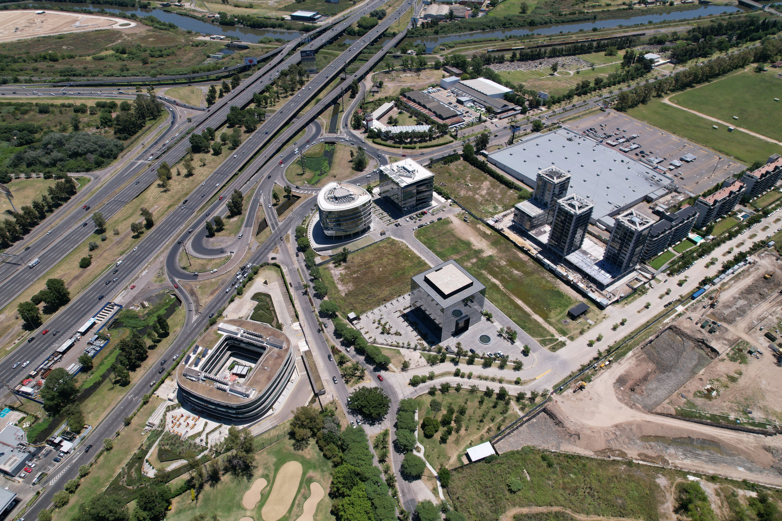
Drone photography, film and 360° views of the site and its surroundings: for marketing, context renders and construction follow-up.
Services
One flight, seven ways to use it.
Each service with a real example, so you can see exactly what it delivers.
01
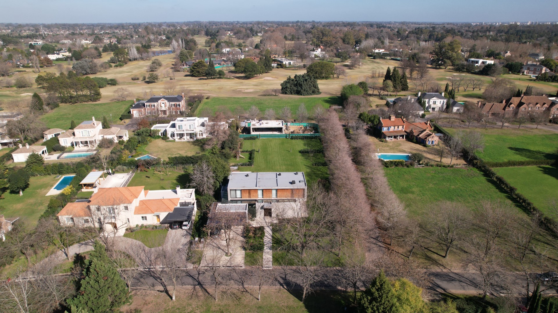
Aerial photography
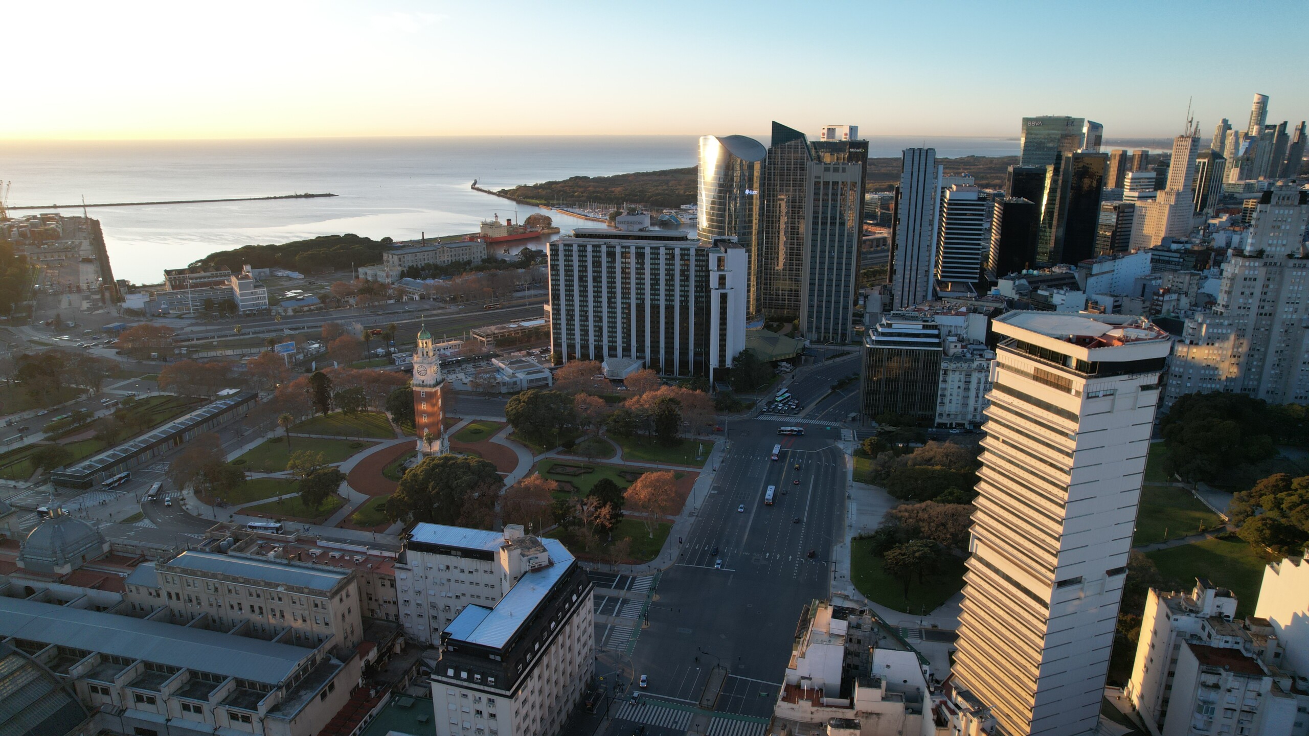
High-resolution stills from the air: the plot, its access and its surroundings, ready for brochures, websites and listings.
02
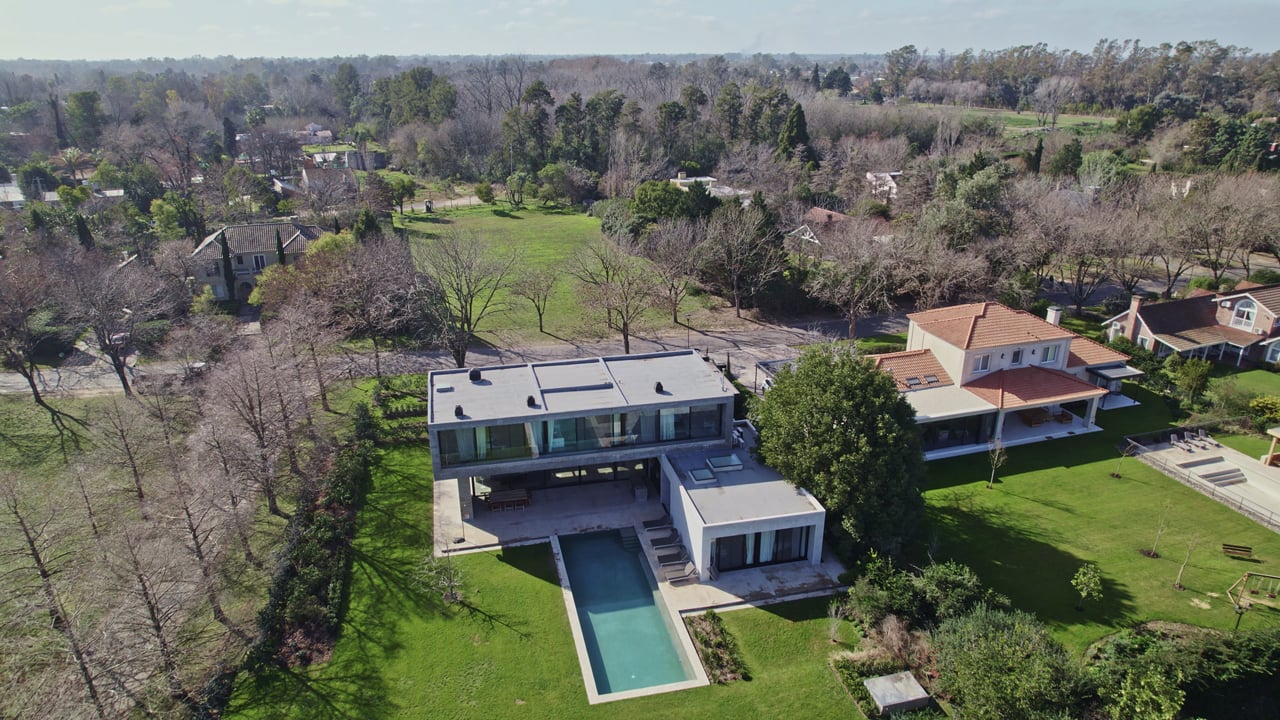
Aerial film
Cinematic flights that show the location and its scale, edited for launches, social media and sales centres.
03
Aerial 360° tour
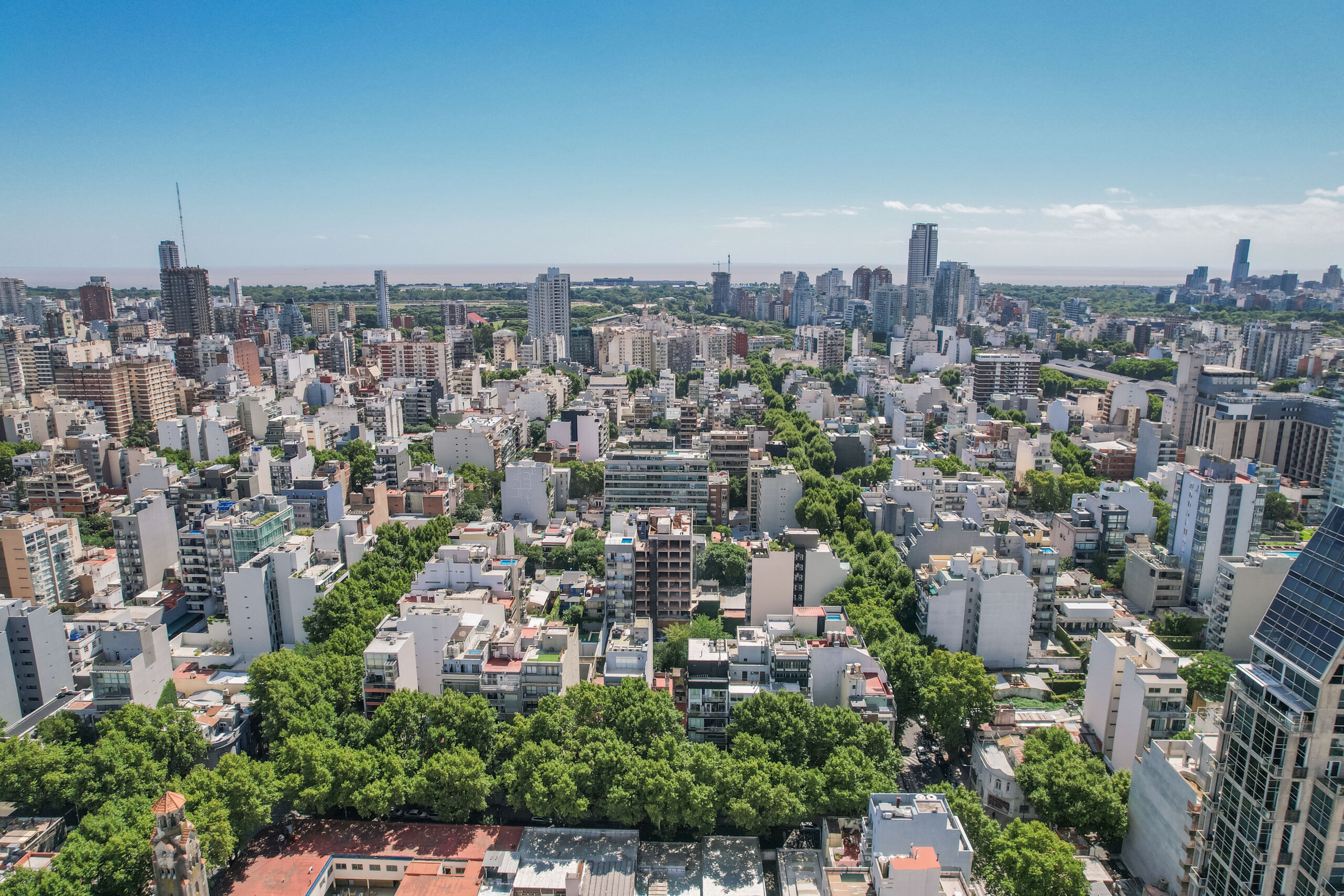
Panoramas from different heights that buyers explore in 360°: the real view from each floor, before the building exists.
Open full screen04
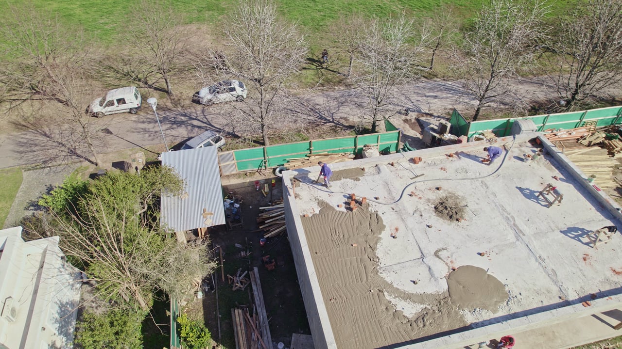
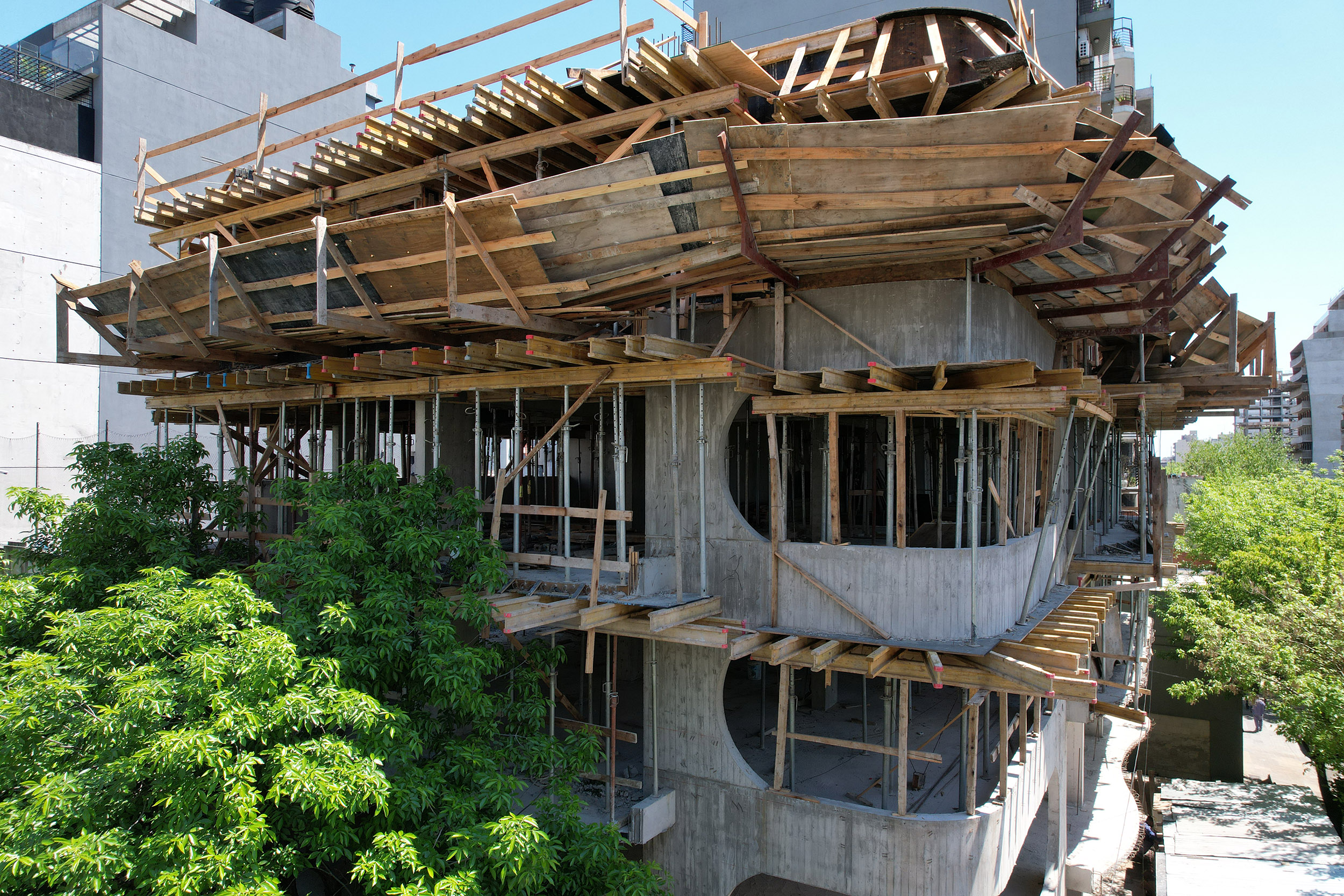
Construction progress
Regular flights over the site to document progress, share it with investors and support decisions on site.
05
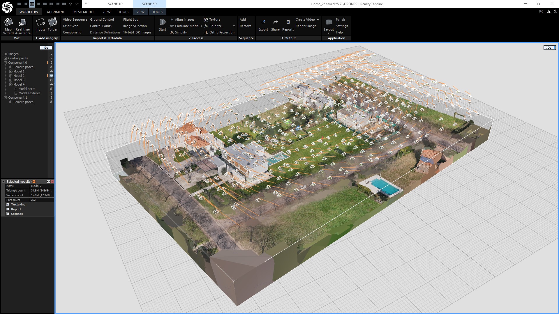
Photogrammetry
Measured 3D models of the site and its buildings, built from overlapping photos, for design and planning.
06
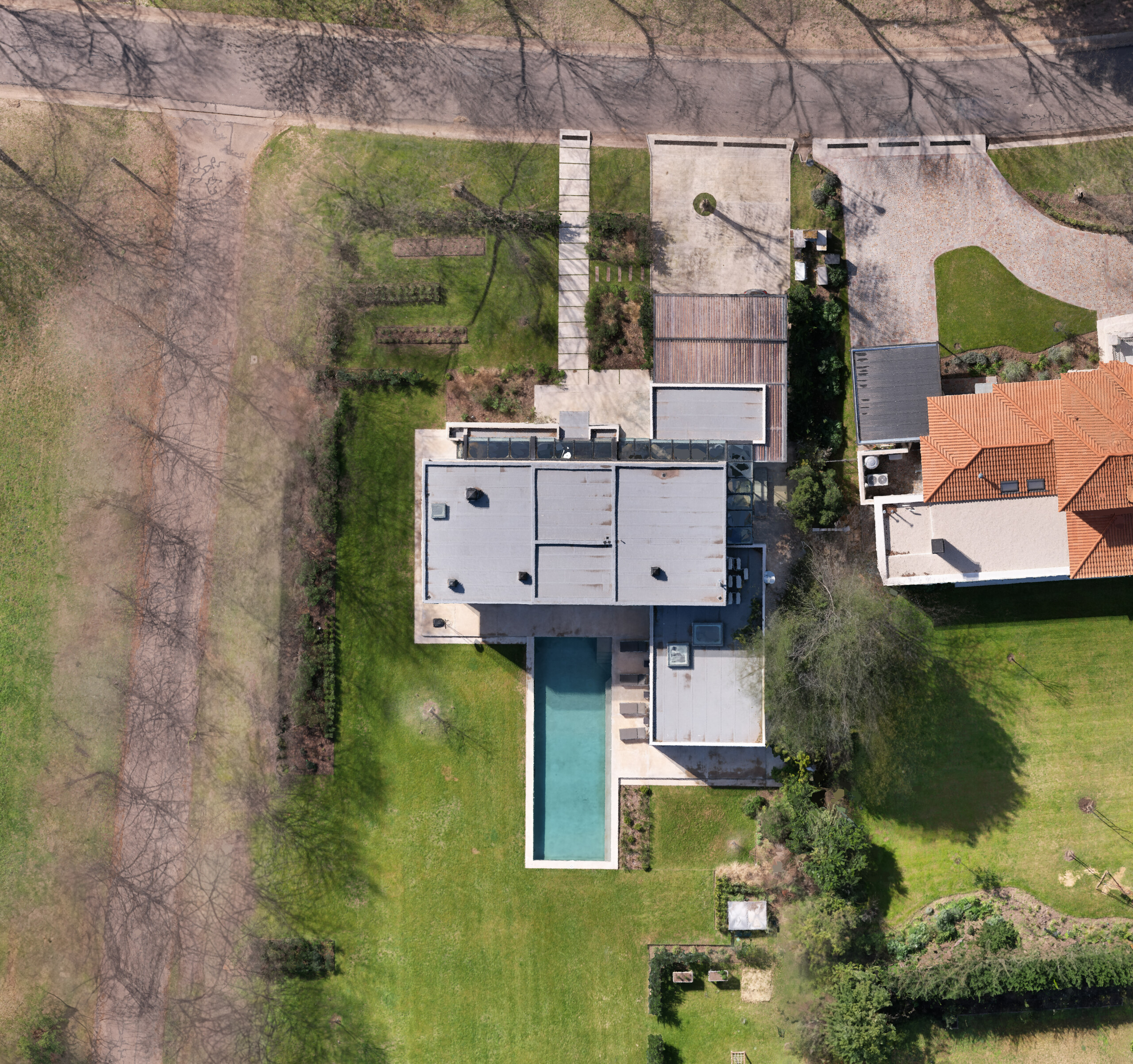
Orthomosaic
One georeferenced, to-scale image of the whole site, stitched from hundreds of photos.
07
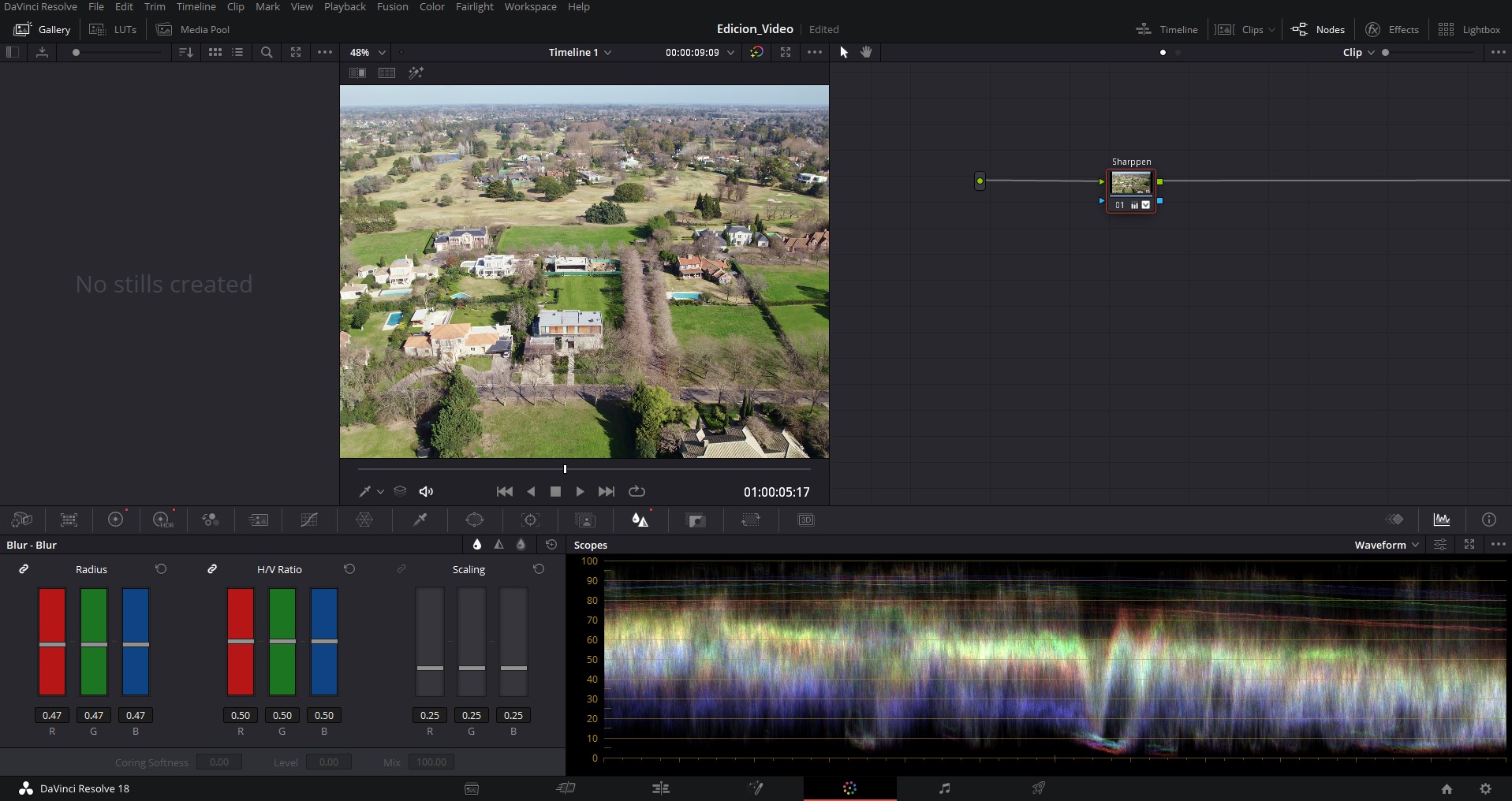
Editing
Colour, retouching and editing of photos and video, so the material matches the rest of the campaign.
Day & night
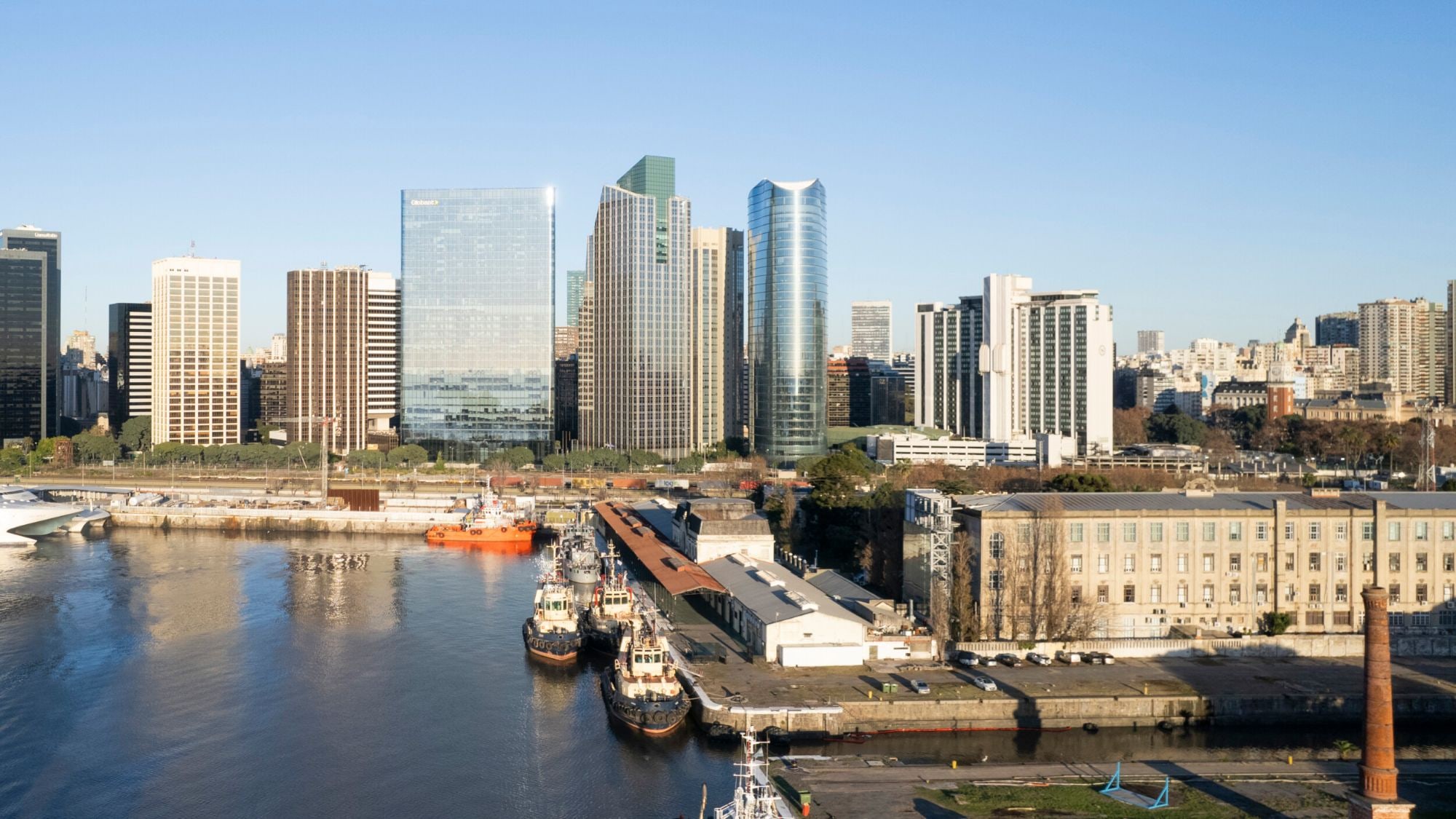
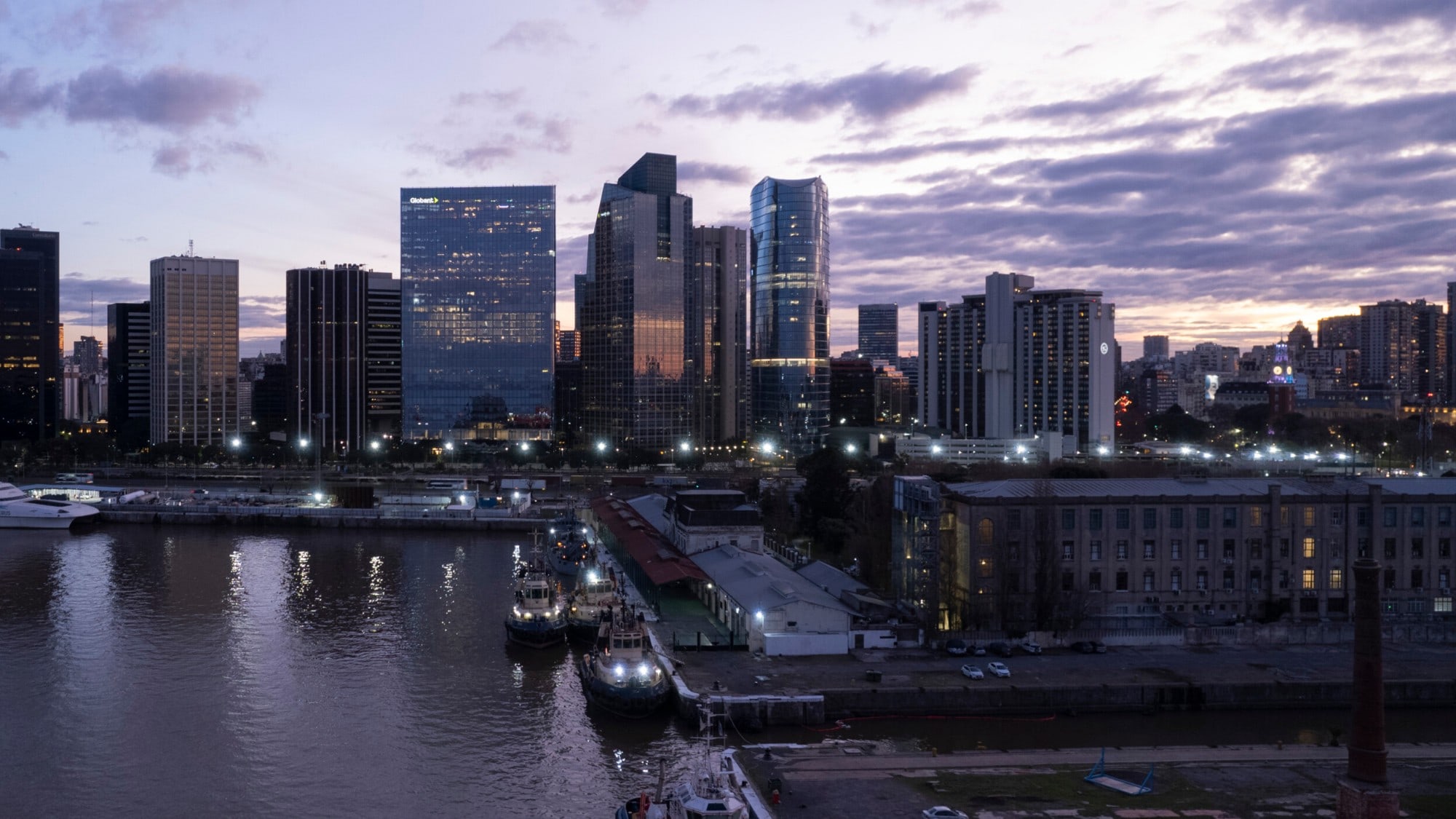
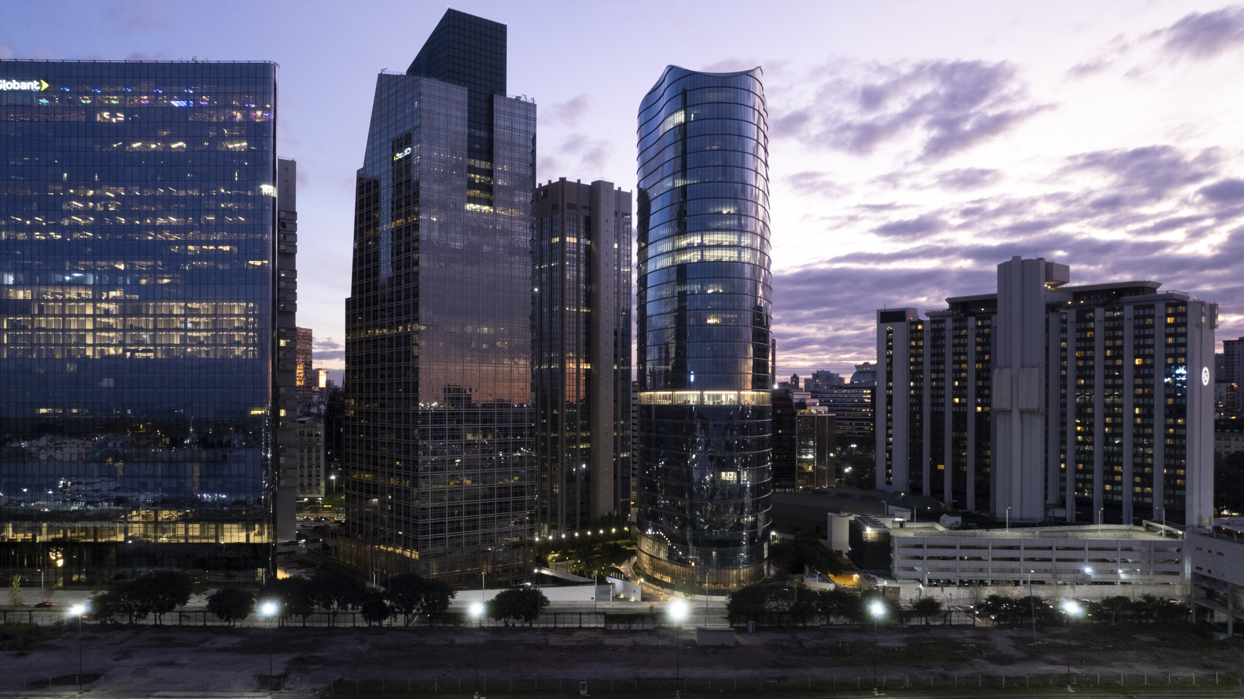
The same view, day and night.
Drag to compare. We shoot or edit both versions so the project can be shown at any hour.
 Day
Night
Case study · CEK
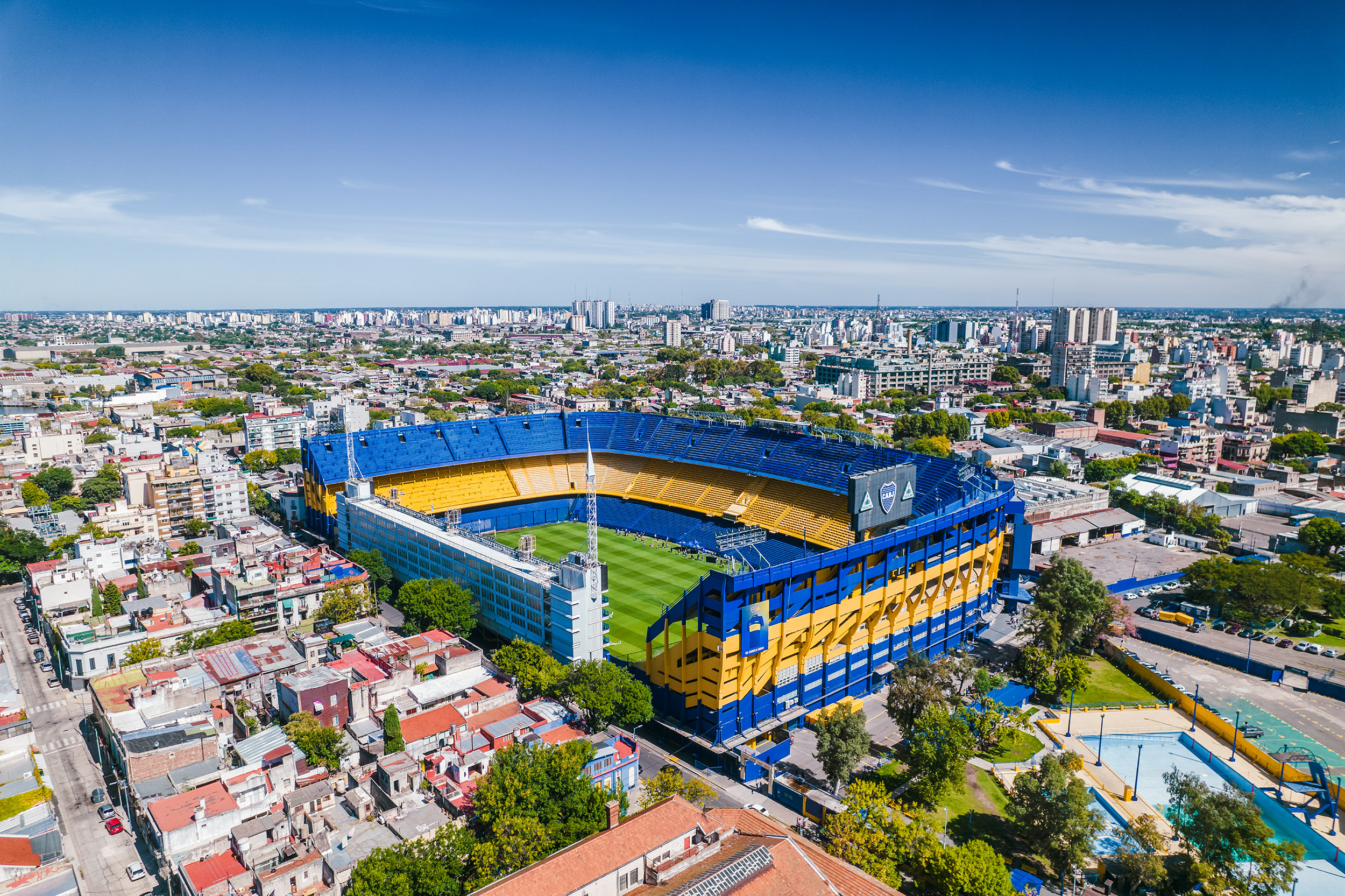
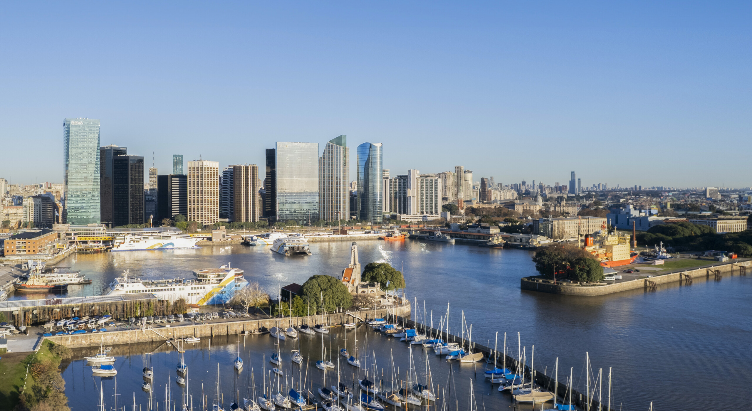
One site, every service.
Photography at different hours, a film, an aerial 360° tour and photogrammetry of the same land, delivered as one set.
- Aerial photography
- Aerial film
- Aerial 360° tour
- Photogrammetry
FAQ
Frequently asked questions.
What do you need from us to start?
A short flight brief: number of shots, heights, times of day, location references and the light you are after.
How does a drone job work?
We study the site and check it is not under an air route; in Argentina we notify ANAC and EANA of the flight plan and wait for approval (ANAC resolution 527/2015). Then: flight plan, technical and visual planning, the flight and post-production.